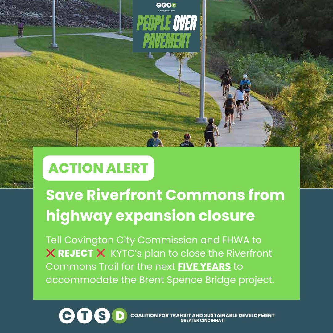
Hundreds demand NKY leaders reject highway expansion and save Riverfront Commons Trail
Plans for the Brent Spence Corridor highway expansion have imperiled one of Covington’s two pieces of biking and walking infrastructure
The Kentucky Transportation Cabinet’s recent announcement that it will close nearly a mile of Covington’s Riverfront Commons trail segment was just the latest amplification of the increasingly detrimental impact of the planned Brent Spence corridor bridge build and highway expansion through the heart of Greater Cincinnati’s urban core.
In response to the announcement, leaders received more than 230 letters opposing the trail closure and the larger highway expansion, adding volume to growing concerns about the project, which would effectively double Interstate 71/75’s already oversized footprint through Covington and surrounding Northern Kentucky neighborhoods. Because of the Riverfront Commons trail’s proximity to planned construction sites serving the project, state authorities have deemed it necessary to reroute the trail.
KYTC’s current trail detour plan establishes dedicated, shared-use right-of-way for people walking, rolling or biking for (at least most of) the entire detour stretching east-west from Covington Plaza at the RiverCenter across Third Street to Crescent and Highway avenues in the city’s Botany Hills neighborhood. Only a portion of the detour trail, however, will be separated from motor vehicles by a physical barrier (like concrete curbs or barriers, versus painted lines and/or signage).
KYTC’s reroute plan directs pedestrians and cyclists back out into the exact busy, city-street traffic the Riverfront Commons Trail is meant to spare them. (Image: KYTC)
Beyond failing to provide a proportionate alternative in terms of protecting people using the trail from motor traffic, questions to its future also remain unanswered.
“This is one of two pieces of bike infrastructure in the whole city,” said Ride the Cov president Nate Weyand-Geise. “And they're going to close it to help build this bridge project, so there's real concern over if this is just the first step... Over the life of this project, what other concessions are going to be made?”
Covington’s segment of the Riverfront Commons trail makes up roughly a mile of the 11.5-mile shared-use path that will connect Ludlow to Fort Thomas by way of Covington, Newport, Bellevue and Dayton. KYTC’s current plan will:
Force trail users onto dangerous, high-speed roads;
Create hazardous conditions at construction entrances;
Require multiple street crossing and navigation through parking lots (spaces notorious for inattentive driving), increasing risk of automobile collisions;
Increase travel distance for current route users;
Limit recreational and commuter access to Scribble Park and other parkland;
Reduce community access to natural spaces, and more.
The deadline to submit feedback on KYTC’s plan has passed, but it’s not too late to get involved and take action.
The Coalition for Transit and Sustainable Development is seeking community volunteers to assist with critical data analysis work on our lawsuit challenging the Brent Spence Bridge Corridor highway expansion project. Learn more about how you can help here.


